-
Ashley Teifke
- December 19, 2024
- No Comments
Northbound or southbound on the Pacific Crest Trail?
To walk to Canada or to walk to Mexico? It’s the very first decision to be made, aside of course, from indulging the hair-brained idea to walk across the United States in the first place. The vast majority of hikers will choose to walk to Canada heading north from the Mexican border. It is without a doubt the more traditional direction, but does that alone make it superior?
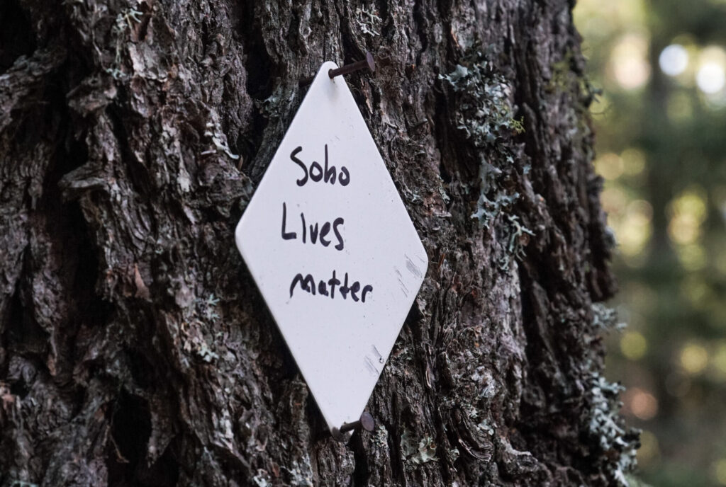
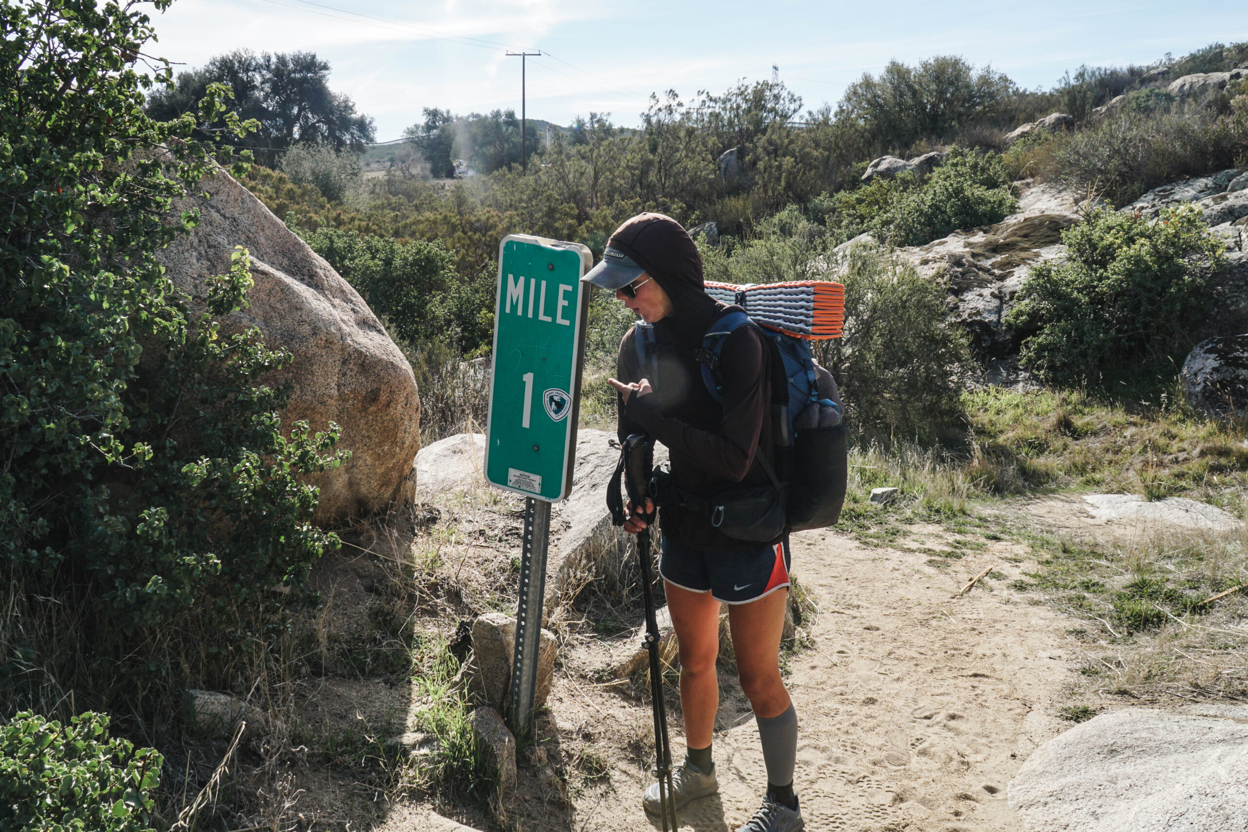
In 2022 I made the decision to hike southbound (Sobo) based purely out of necessity. A June/July start date would work with my college graduation while an April/March start date for going northbound (Nobo), would not. I had wanted to hike the PCT for years but had always imagined myself starting from the Mexican Border and walking home to Washington State. If I had waited a year, I could have made that a reality. But alas, my patience had finally run out. I was out of school and free. Not even going the wrong direction could tamper my excitement. And as it turns out, there are just as many perks to going south as there are to going north. So, let’s take a quick peek at a few things to take into consideration before you choose to go one direction over the other, as it is entirely possible to have two completely different experiences on the same exact trail.
the pitch for Northbound
Thousands of hikers start their trek every spring with hopes of making it to Canada. You meet an entirely new group of people who had the same wild idea you did and decided to actually do the thing. Access to the civilized world is never far in the desert. The learning curve is much smaller here, and mistakes can be corrected with relative ease. Armies of trail angels can be found at many main road crossings to offer food, drinks, or maybe just a friendly conversation. The landscape is teeming with wildflowers, and all the water sources are flowing strong.
A slower pace is encouraged (unless you started in May), and almost necessary to let the most snow melt out of the Sierra before you arrive. Regardless snow travel will likely be required for at least part of your time in the Sierra, which will result in traveling through a stunning and remote winter wonderland not everyone wants to put the effort in to see. If you’re lucky, the wildflowers may even begin to bloom before you move into Northern California.
Most hikers are in the vicinity of Cascade Locks, OR around the same time that “Trail Days” occurs every year. Which for lack of a better term, is a giant hiker fair. Gear and food vendors, games, and one of the largest gatherings of dirty smelly hikers you’ll find anywhere. Some hitch rides up or down the trail just to attend. Going south, hikers rarely have time unless they happen to be there as well.
By the time you arrive in Washington you’ll be in the best shape of your life (hopefully) and ready to conquer the harder terrain. All while being treated to some of the most incredible scenery of the entire trail as your grand finale. Orange and yellow larches blanket the mountainsides as the final push for Canada is made.
the NOBO Dirt
Now let’s take off the rose-colored glasses for a second and start back in the desert again. For one, depending on how late you start, the desert can still be dangerously hot. Many resort to hiking long stretches at night to avoid the heat. The rattlesnakes however prefer these warmer temperatures and are encountered much more frequently.
800 miles in, there is a very probable chance you will be arriving at the foot of the still snow-covered Sierra Nevada Mountains. This requires extra gear: micro-spikes, ice axes, and warmer layers. With that will come hundreds of miles of snow travel, post holing up impossibly steep passes, crossing raging snow melt rivers, and long resupply carries. Oh, and don’t forget the mosquitos! You’ll become good friends in the Sierra and really for the rest of the trail as you follow the hatch all the way up to Canada. Hope you didn’t leave the head net at home!
Once through the Sierra you exchange snow for fire. In recent years the Northern California, Oregon, and Washington sections of the PCT have been severely affected by enormous wildfires and heavy smoke. Portions of trail often must be skipped due to closures which can be both demoralizing and logistically challenging to navigate. Now, assuming you’ve overcome all the obstacles presented thus far (and still have that head net and a will to live) you will find yourself in the beautiful North Cascades… if you can see them.
Depending on the time of year you can either still be contending with wildfires (that frequently break out near the northern terminus) or the shifting of the seasons. Arriving in Northern Washington in late September brings the cold wet rain and potential of snow shutting down the final leg of your hike.
the pitch for Southbound
Now that I’ve made going north sound like the worst decision you could ever make, let’s look at going the other direction. The rule of thumb for starting a SOBO hike is to leave about a week after the snow level at Harts Pass reaches zero. (Snow depth info found here Snow Station Information – HARTS PASS SNOTEL). This allows for the snow to melt off the trail and the wildflowers to emerge in all of their glory. Every color flower imaginable will cover meadows with jagged snowcapped peaks rising behind them. Water can be found around every corner. Bridges cover most of the main water crossings and while there are still plenty of hikers around, you can still enjoy a quieter wilderness experience. To top it off, you finish Washington ideally before the fire season has started up.
Oregon and Northern California are still a bit of a gamble regardless of how you slice it. Chances are it will still be on fire. It was for me. I got extremely lucky though as all three closures in Oregon opened the day I arrived at their northern border. Not everyone was as fortunate.
On to the infamous Sierra. The generally accepted date to be over the highest pass (Forester Pass) is October 15th. Any later and you risk being snowed out of arguably the best section of the trail. However, if you hit the sweet spot just before the weather window closes, you will find an empty trail (which is usually extremely busy during the summer), not a single mosquito or dangerous water crossing, clear skies with pleasant daytime temperatures, and of course the bright oranges and yellows of fall foliage. To top it off by the time you exit the Sierra you’re a mere 500 miles from Mexico. The desert sun will no longer roast you alive, rattlesnakes are far less active (I saw a grand total of zero!), and by now your body has adjusted to covering long distances so the longer water carries become less of an issue.
the SOBO Dirt
As wonderful as I just made that sound, there are some considerations to take into account. The most glaringly obvious fact being that there is a much shorter window in which you have to make it through the Sierra before the first winter snow. This means a considerably faster average pace must be maintained through the first couple months of the hike. Less time spent in town and a slightly higher level of fitness is required starting out over the steep Washington terrain to achieve those higher milage days.
The mosquitos are only an issue for Washington, after that you will have passed completely through the hatch. However, the swarms of mosquitos will soon be exchanged for swarms of NOBO hikers in Southern WA and on into Oregon. The quiet trail that becomes so familiar is suddenly 3x as crowded as the NOBO and SOBO bubbles collide. Campsites fill up by 5 in the afternoon and force longer days than originally planned.
Once through the bubble, the trail feels quieter than ever, at times borderline lonely if you find yourself without hiking companions. Sprinkle in some boiling triple digits temperatures and thick wildfire smoke in Northern California and it becomes a recipe for some real bummer days.
In the Sierra it can feel like you’re a mouse sneaking by in front of a sleeping cat that will wake up and eat you alive at any moment. I think we’ve covered the importance of making the weather window to avoid creating the Donnor Party sequel that nobody wanted. So, we’ll move on to the desert. Don’t make the mistake of thinking it will be a cakewalk to Mexico. The desert is rarely “the desert” and you’ll still be crossing mountain ranges that still have the potential for early season snow. Don’t rule out sleeping in the pit toilet during a snowstorm yet, it just might happen.
But which is better?
Everything I’ve just rambled on about is of course, entirely subjective based on the year. None of it may happen, but chances are at least some of it will. At the end of the day, you just have to roll the dice and accept the fact you will most likely not have a continuous footpath for one reason or another. Thru hiking is a game of chance. The conditions you encounter will dictate the narrative of your hike. Snow, wildfires, and smoke will play a part whichever direction you choose. It’s a matter of when and where you’d like to see them. If you are looking to experience the social culture that long trails are so famous for, go north. If you want a quieter, more wilderness-centric experience, are willing to sacrifice time in town, and are capable of moving a little quicker, go south. But personally, as a SOBO who had an amazing experience, my completely unbiased opinion? I think going backwards is an incredibly underrated direction.
© 2024 Ashley Teifke